The Sea Beneath: Discovery Day
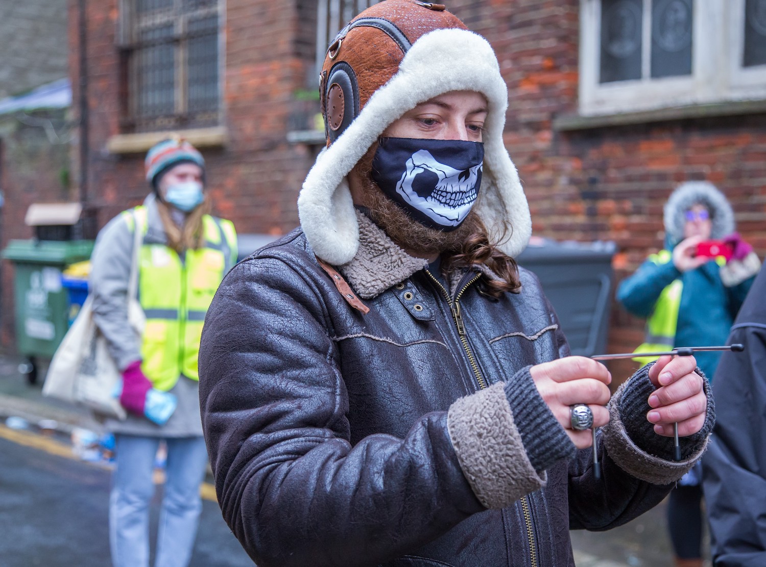
Photo by Cathy Teesdale
As part of our The Sea Beneath project on 13 March 2021 we hosted a Discovery and Discussion Day in the form of three Zoom sessions, exploring the past, present and future of Hastings and the America Ground.
The Sea Beneath is an ambitious environmental art, science and heritage project to explore the hidden water courses – and other invisible, unseen and forgotten features – beneath the streets of Hastings. In the project, some of our exploratory work is based on instinct and old methods, some based on science and expert analysis, and some developed through creativity – and it is likely all three ways of seeing are entwined and related.
In December 2020, we worked with instinct via a wonderful group of dowsers in an initial research and discovery stage in the America Ground. Since then the MSL team have researched old coastline maps, talked to historians, and discovered more about the mix of myth and fact surrounding the America Ground and the potential threat that rising seas and climate change might bring to the town.
Discovery Day opened out the pilot work completed in December in three one-hour sessions:
Session 1: Dowsing
This fascinating event explored the unusual and long-forgotten features and water sources under the pavements of central Hastings through the work of dowsers – some from East Sussex Dowsers, and others who were non-aligned. We talked with each dowser about their findings, saw them mapped onto the town streets, and learned much more about this interesting way of seeing the past – and the present.

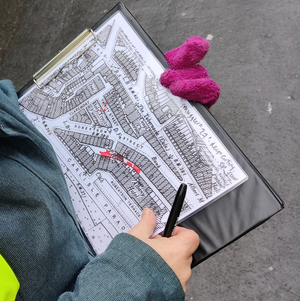
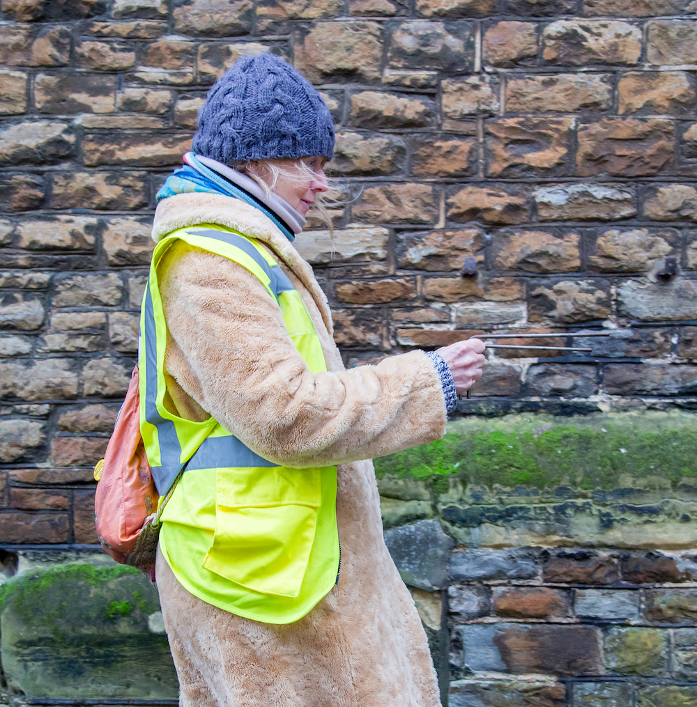
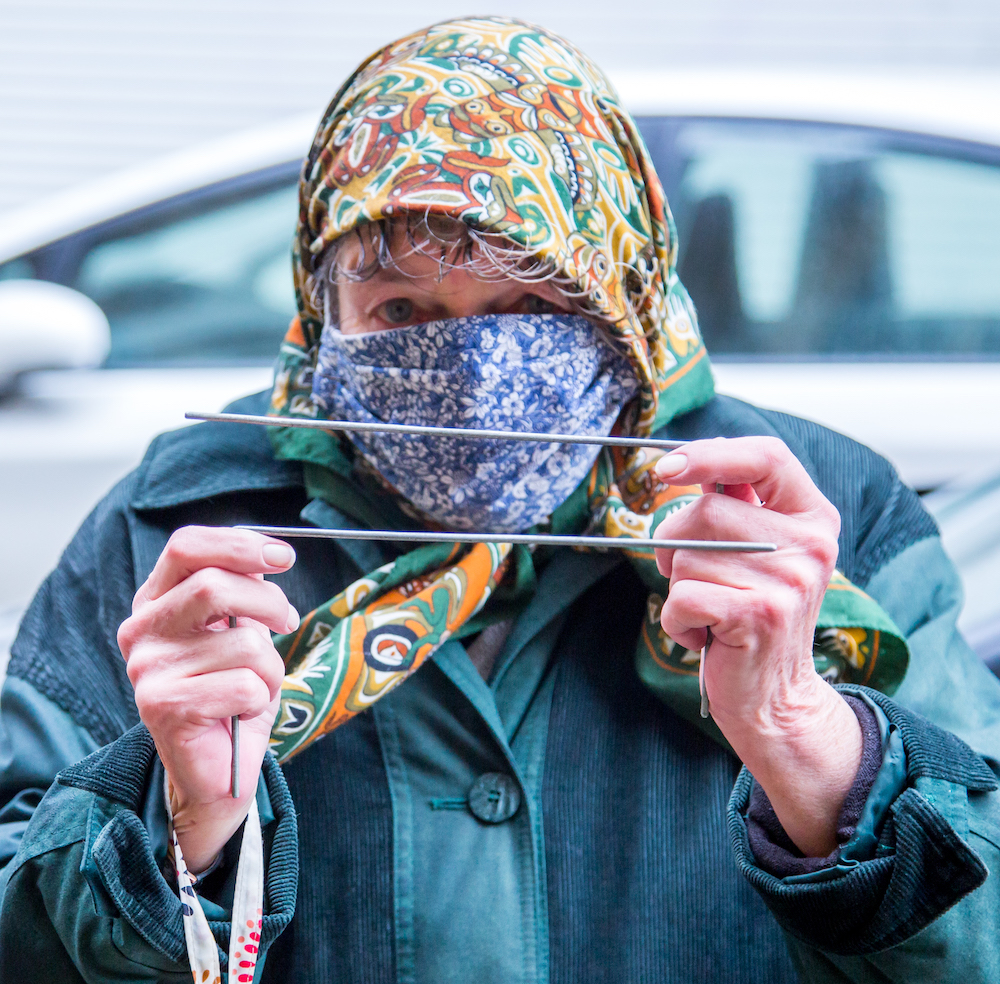

Photos by Cathy Teesdale and Jon Pratty
Session 2: Shifting Tides
We delved into the past with MSL researcher Julie Gidlow and local historians Ian Shiner and Steve Peak. In this session they went deep into the past to look at evidence and maps showing that waves once washed much further inland around and within Hastings than they do now. This was a story about storms and coastal destruction on a massive scale, and how Sussex and Kent have changed. These stories of past inundation might have lessons in the present and future; archives could show where our current coastline is vulnerable. Our expert contributors explained how we could go forward.
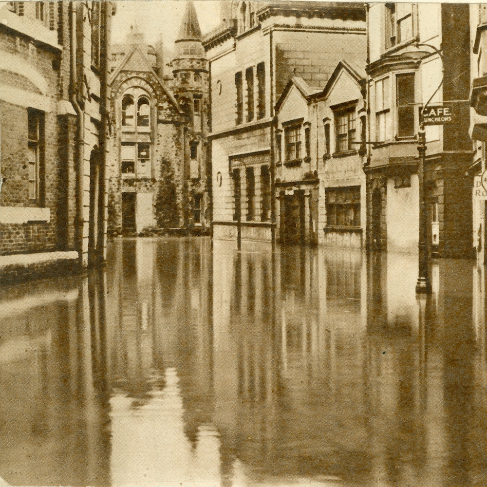
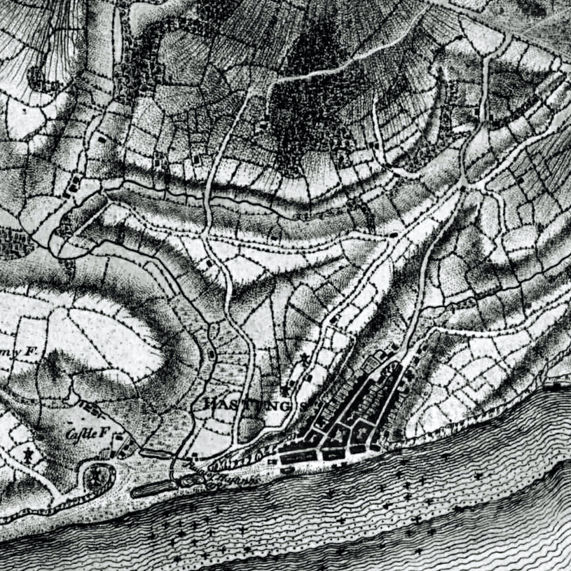
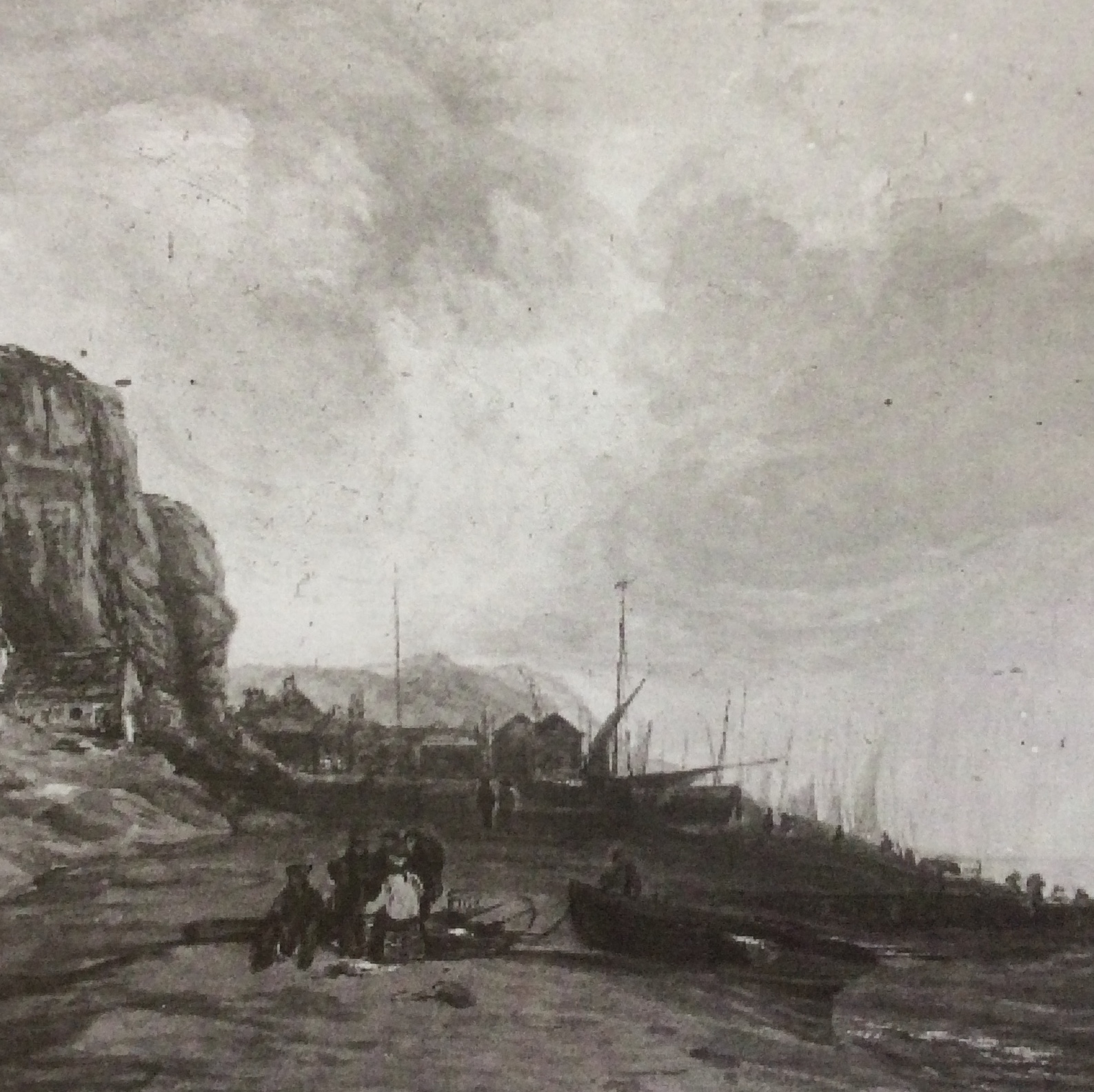
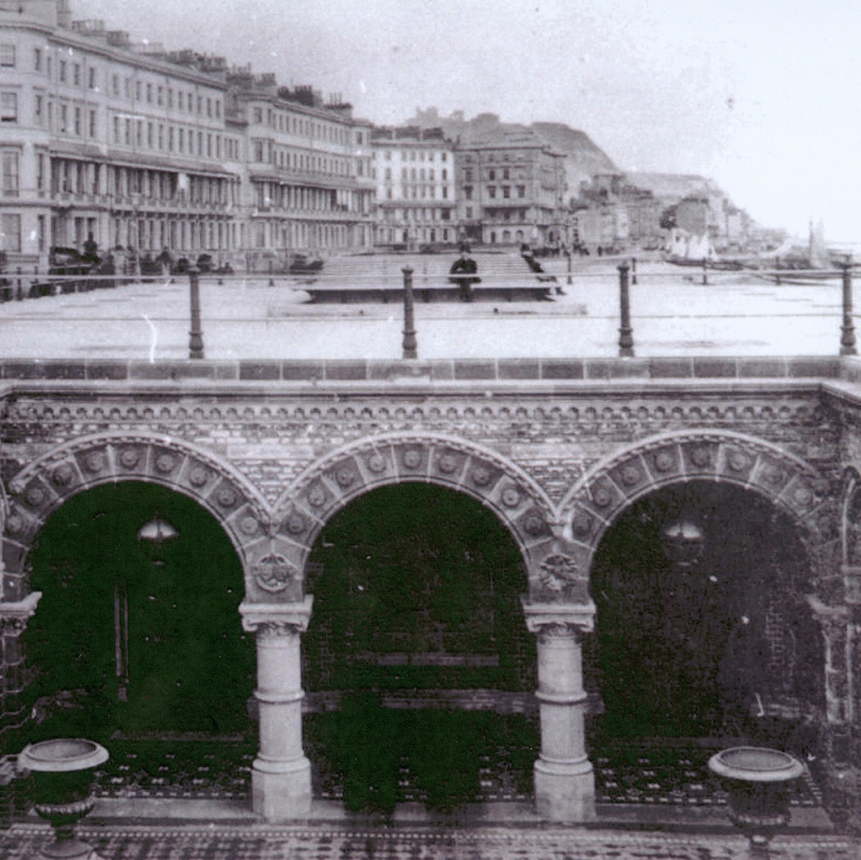

Images of Hastings courtesy of East Sussex Library and Information Services
Session 3: Shaping the Future
In this session we remade and remodelled Hastings to show how we could live sustainably after 2050, when sea levels might have risen by up to two metres. We invited you – expert or amateur, student or scientist – to send us your visual ideas of how to make a better town for all of us. These two downloadable maps of the town were available as a guide for your ideas, or to make your own. Your maps and visuals of Hastings 2050 will be shown, here on the website, and promoted on our social media profiles.
Also in this session, the artist Esther Rolinson talked about how she sees the future coastline; as well as her public art work on St Leonards sea front, Stream – about how the piece came to be made and the meaning behind it. Stream was commissioned by Hastings Borough Council in 2002. The Coastal Scientist, Helene Burningham, explored how the town could face the future with new confidence and in safety from the rising seas.
Esther Rolinson is a prize-winning visual artist who explores the use of new media technology as well as artistic languages such as drawing and sculpture. Her artworks are in prominent collections, such as the V & A in London. (Photo by @AnnikaDerksen @avrlondonphotography)
Helene Burningham is a Coastal Scientist and Associate Professor in Physical Geography at UCL, and has over 20 years experience as a geomorphologist with particular interests in coastal system dynamics and geospatial analysis.
Work with us.
We create our projects with real people and places in mind. We like to work with our clients, our partners, our participants to develop original and distinctive work.
Give us a call to get started.

